Nepal packs almost the full range of Earth's land habitats into a country 800 kilometres long: from roughly 60 metres above sea level in the Tarai's Gangetic-plain grassland to 8,849 m at the summit of Sagarmatha (Everest) — one of the steepest ecological gradients anywhere. What lives where follows that elevation almost exactly, so this page runs south to north: Tarai lowland, Churia hills and mid-hills, then the high Himalaya.
Nepal's share of the Gangetic plain is its hottest, lowest and most fertile ground — sal forest, tall elephant grass and river floodplain that once ran unbroken along the Indian border and now survives mainly inside a handful of protected areas, stitched together as the Tarai Arc Landscape.
UNESCO 1984
Chitwan National Park
Sal forest, grassland & riverine wetland · established 1973
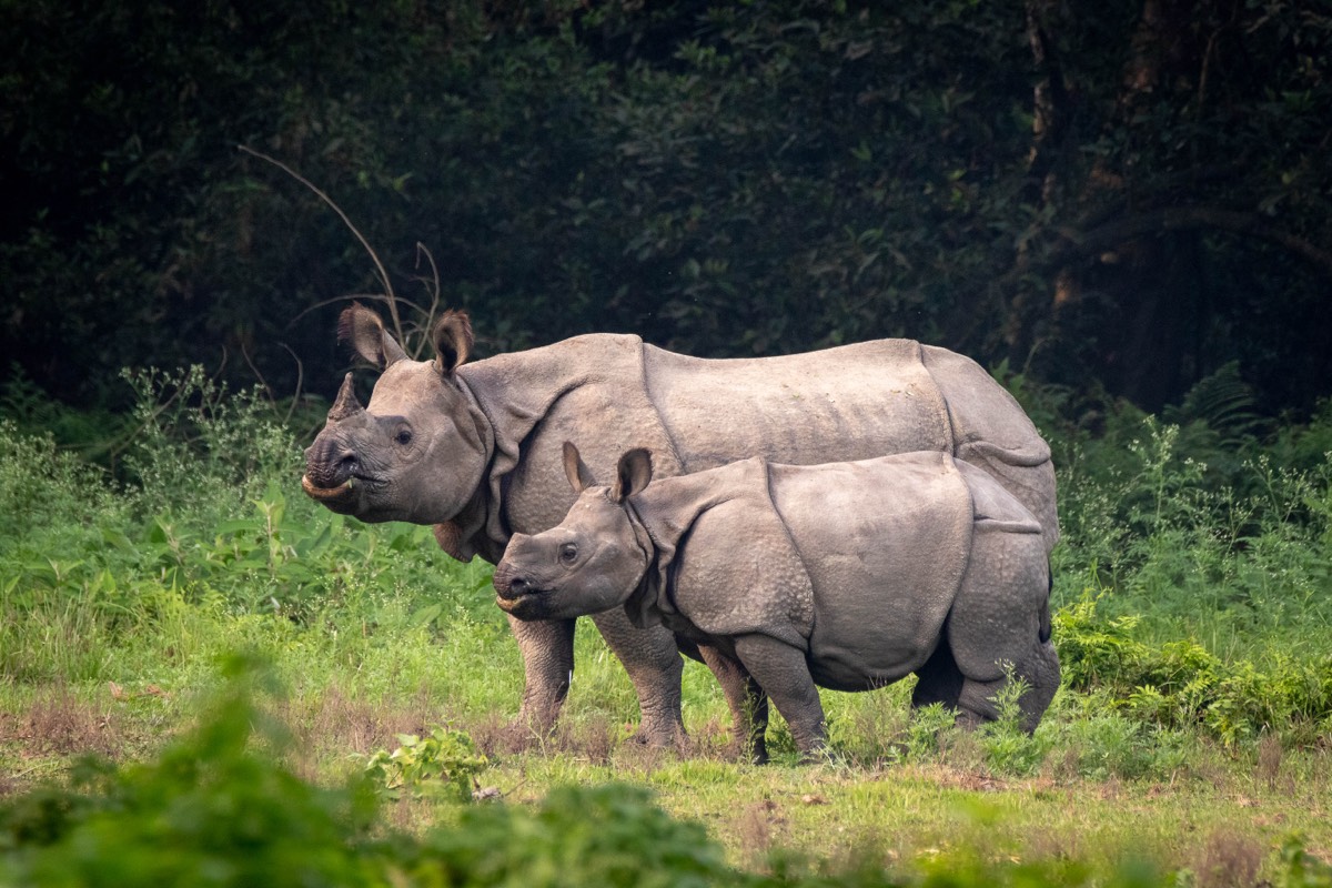
Nepal's first national park and the anchor of its rhino recovery. The greater one-horned rhinoceros population across the Tarai Arc stood at 752 as of the last published count — a census run in late March 2025, reported via an IUCN–TRAFFIC assessment — with the large majority in and around Chitwan. Its Bengal tigers are tracked by camera trap, and its Gharial Conservation Project has bred and released gharial crocodiles since the 1980s, after the wild population fell to an estimated 38 individuals nationwide by 2003.
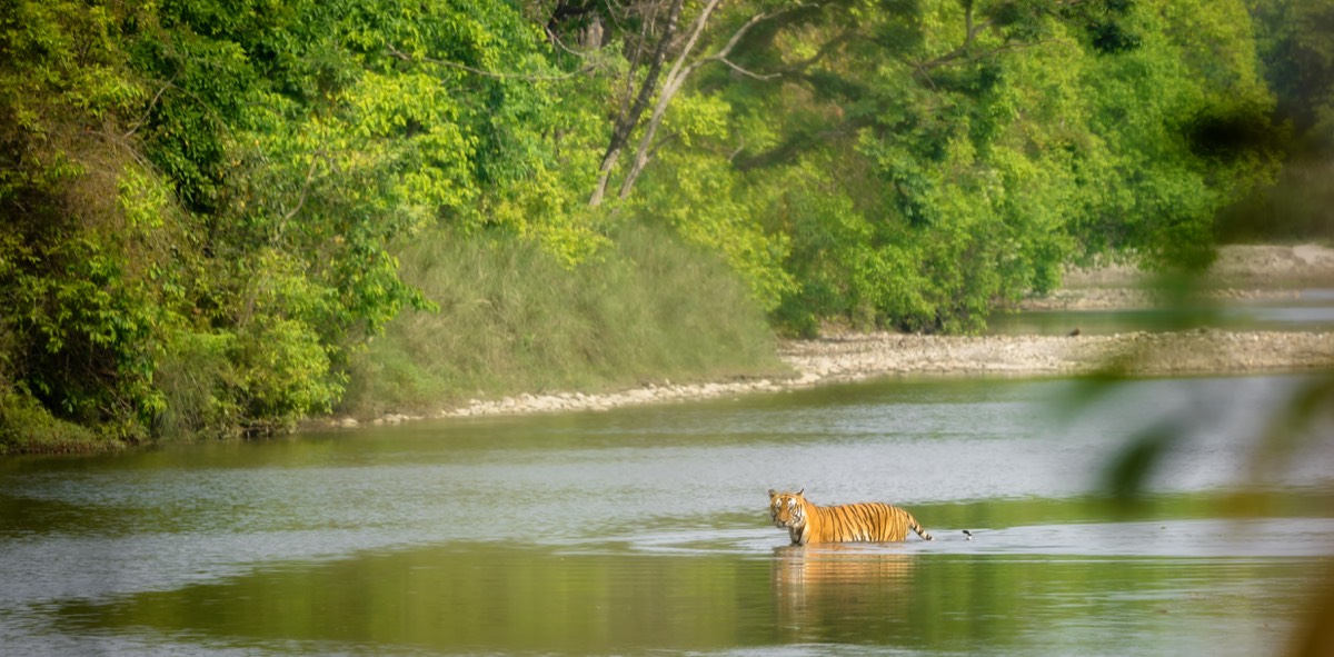
West of Chitwan and far less visited, Bardiya holds one of the country’s most important Bengal tiger populations along the Karnali and Babai river systems, alongside rhinos translocated from Chitwan and the same sal-forest-and-grassland habitat that defines the Tarai.
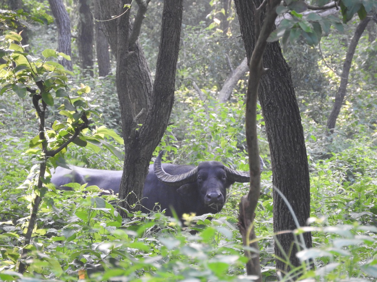
A Ramsar-listed wetland (designated December 1987) and Nepal’s last refuge for wild water buffalo, or arna — a herd that fell to roughly 150 animals before recovering to 432 by the 2016 census. The reserve sits on a major migratory flyway and is one of the last Nepali strongholds of the Bengal florican, among the world’s rarest bustards.
BELT TWO · 300–3,000 M
The Churia hills & mid-hills
North of the Tarai, the young, unstable Churia (Siwalik) range rises abruptly into Nepal's mid-hills — the terraced, densely settled belt where most Nepalis actually live. Sal forest climbs the lower slopes before giving way, higher up, to Nepal's best-known seasonal spectacle: whole hillsides of Rhododendron arboreum, the lali guras and national flower, flowering crimson and pink each spring from roughly March into April. Further east, and at the upper edge of this belt where the mid-hills climb toward the high Himalaya, the forests begin to hold red panda — more properly a high-hill and subalpine species (it keeps mainly to 2,000–4,300 m) but one whose range starts to appear here before it becomes common further north and east.
BELT THREE · 3,000–8,849 M
The high Himalaya
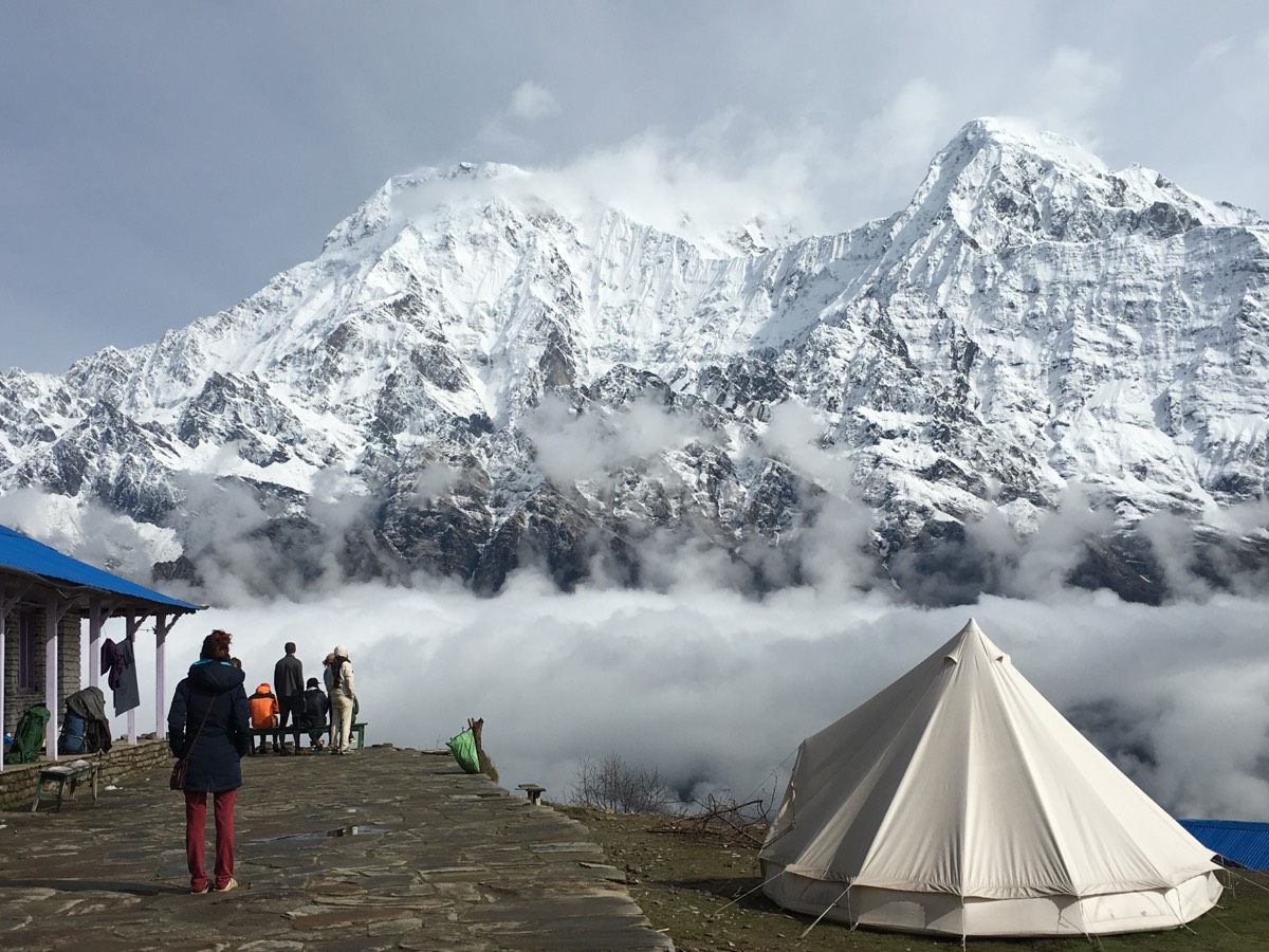
Above the treeline, forest gives way to alpine meadow, bare rock and permanent snow — thin-oxygen habitat that still supports snow leopard, blue sheep, Himalayan tahr and musk deer, and, in its eastern reaches, the largest surviving red panda range in the country.
UNESCO 1979
Sagarmatha National Park
Everest region, birch-rhododendron treeline to permanent snow
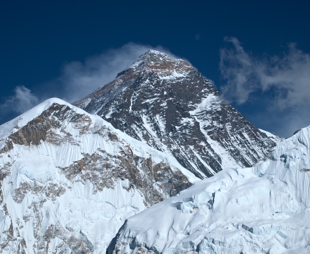
Named for Sagarmatha (Mount Everest) itself, whose summit the park’s own published range lists at 8,848 m — the officially revised height, agreed jointly by Nepal and China in 2020, is 8,849 m. Snow leopard range begins around 3,500 m; Himalayan tahr, Himalayan serow and musk deer occupy the forests and alpine meadows below.
Running from subtropical valley floor to the Annapurna massif’s peaks above 8,000 m, this is prime snow leopard range, and its high alpine meadows are the main habitat of the blue sheep, or naur — the snow leopard’s principal prey across the Himalaya generally.
est. 1997
Kanchenjunga Conservation Area
Nepal’s easternmost high Himalaya, on the Sikkim and Tibet borders
2,035 KM²
Reaches the foot of Kanchenjunga, the world’s third-highest peak, and sits inside one of six protected-area complexes across Nepal where the red panda still survives. It also holds snow leopard and blood pheasant, and produced one of the highest-ever camera-trap records of a leopard cat, at 4,474 m.
est. 2010
Api Nampa Conservation Area
Nepal's far west, bordering India's Kumaon
1,903 KM² · 518–7,132 M
The least-visited of Nepal’s high-Himalaya conservation areas, spanning from subtropical valley to the peaks of Api and Nampa. It holds snow leopard, red panda and Himalayan black bear, marking close to the westernmost confirmed edge of the red panda’s Nepali range.
TRANS-HIMALAYA
Upper Mustang
In the rain shadow of Dhaulagiri and the Annapurna massif
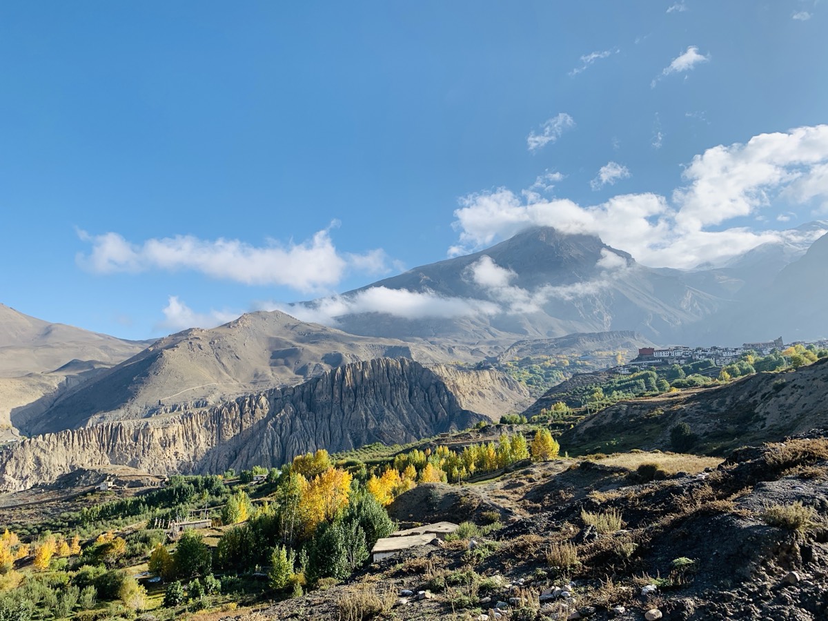
The one part of Nepal that looks like the Tibetan Plateau it geologically belongs to: eroded canyons and wind-carved cliffs stand in for forest, and the vegetation — hardy juniper and Caragana scrub across open steppe — has more in common with trans-Himalayan Tibet than with anywhere else in the country. Roughly 80% of the district lies within this trans-Himalayan zone, with forest covering just over 3% of its land.
Browse by species
Which protected areas above hold each species, cross-referenced from their own entries.
RhododendronNational flower · Rhododendron arboreum, the lali guras
The cow was declared Nepal's national animal on 20 September 2015, approved by then-president Ram Baran Yadav. No confirmed designation year turned up this session for the Himalayan monal or the rhododendron. The red panda — often described online as a Nepali national symbol — isn't one: no official designation for it turned up in the sources checked here. It appears on this page as the eastern high-hills' emblematic wild species, not as a government symbol.
Sources
Chitwan National Park; Sagarmatha National ParkUNESCO World Heritage Centre
Inscription years (1984 and 1979 respectively) and official site descriptions, cross-checked against Wikipedia’s summaries of each listing.
Koshi Tappu Wildlife Reserve, Ramsar Site No. 380Ramsar Convention Secretariat
Designation date (December 1987) for Nepal’s Ramsar-listed wetland reserve, cross-checked against Wikipedia.
Red List assessments: Rhinoceros unicornis, red panda (Ailurus fulgens)IUCN
Conservation status and range data. The IUCN site itself returned an access error this session; population and range figures here are drawn from Wikipedia’s summaries of IUCN and census data instead, and should be checked against iucnredlist.org directly before reuse.
‘IUCN–TRAFFIC report praises strengthened monitoring and surveillance for protecting India and Nepal’s rhinos from poaching’Rajat, G., Down To Earth (2025)
Source for the 752-rhino Nepal figure from a census run in late March 2025 — the most recent count found this session; not independently cross-checked against a Department of National Parks and Wildlife Conservation (DNPWC) release.
Wikipedia: Chitwan National Park, Bardiya National Park, Koshi Tappu Wildlife Reserve, Annapurna Conservation Area, Kanchenjunga Conservation Area, Api Nampa Conservation Area, Mustang District, Indian rhinoceros, Red panda, National symbols of NepalWikipedia contributors
Consulted directly for area figures, establishment years, elevation ranges and species lists in the absence of a live DNPWC database this session. Flagged in the text wherever a figure is dated or came from a secondary report rather than a primary agency release.
Photographs on this pageVarious photographers, via Wikimedia Commons
Six of the eight areas above have a real photograph, each individually credited under its image with a link to the original file and license (a mix of CC BY and CC BY-SA, both requiring attribution). Kanchenjunga and Api Nampa have none — no photo specifically taken in either area, correctly licensed for reuse, was found and verified this session, and a generic stock image was not substituted in.
Nepal's national parks and conservation areas as a system
Managed by Nepal's Department of National Parks and Wildlife Conservation (DNPWC) and, for the conservation areas, the National Trust for Nature Conservation. Their own sites weren't fetched directly this session; figures here should be checked against dnpwc.gov.np before reuse in anything beyond an overview like this one.